
High-mountain glacier and water resources monitoring
Glaciological measurement, precision surveying and water sampling in high-Andean lagoons.
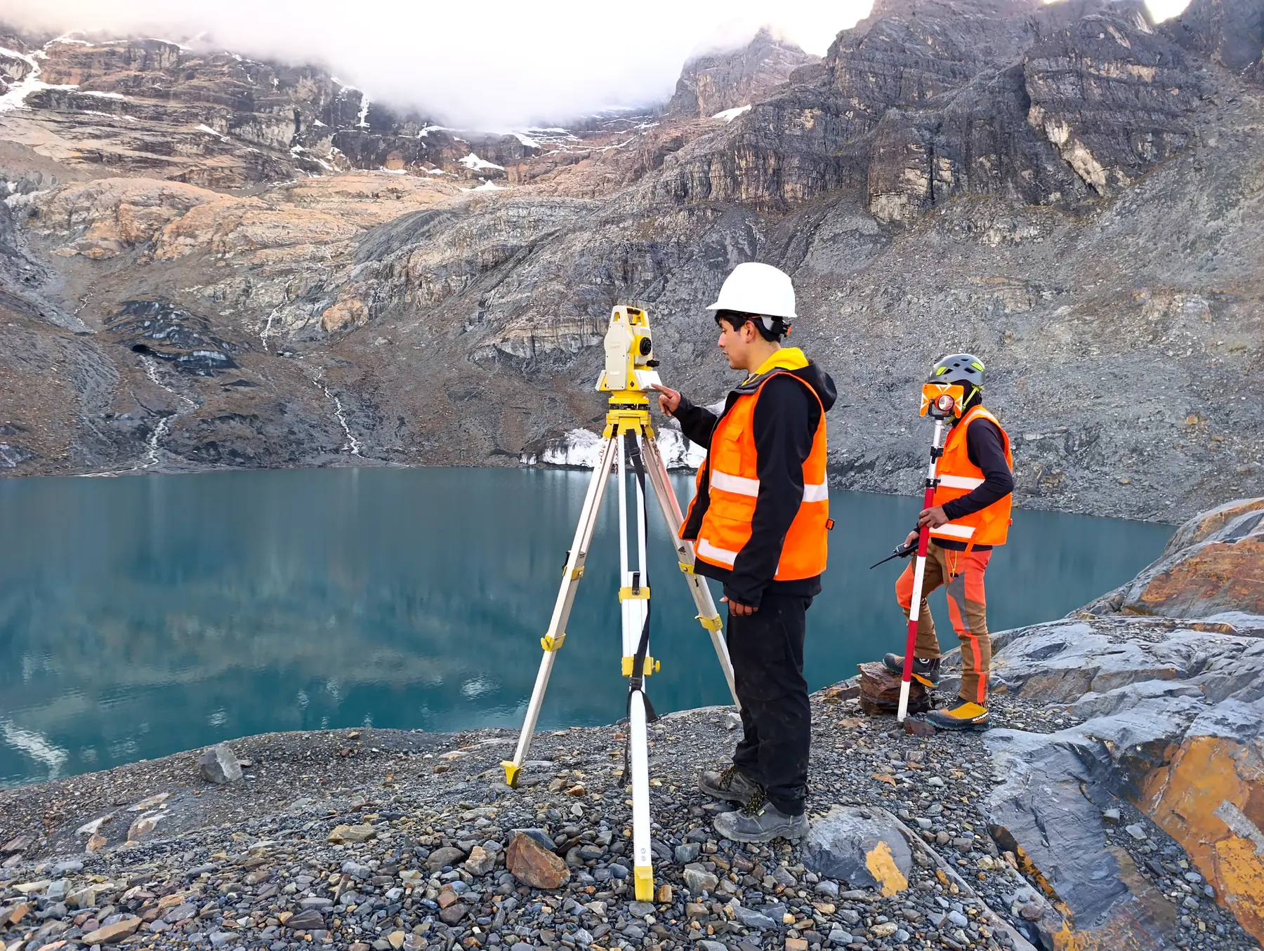
Context
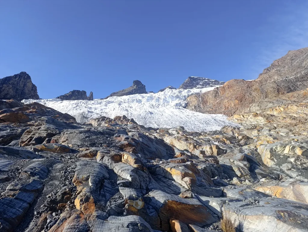
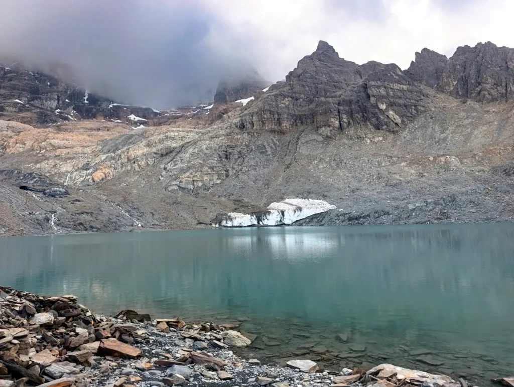
Monitoring of glaciers and high-Andean lagoons, where extreme conditions demand trained crews and strict safety and sampling protocols.
Challenge
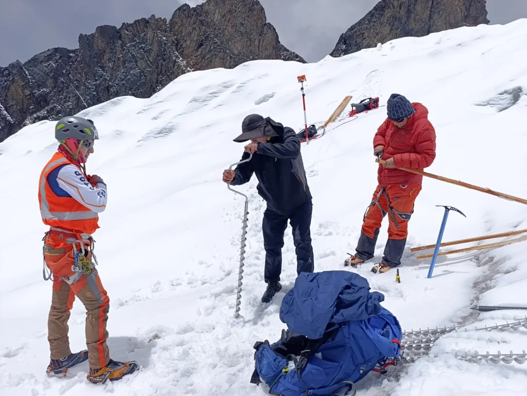
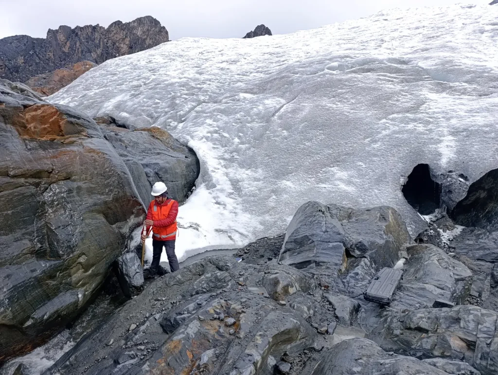
Technical access over snow and ice, changing weather and the need to obtain comparable data between campaigns.
Our solution
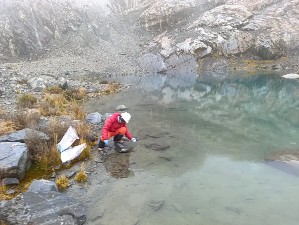
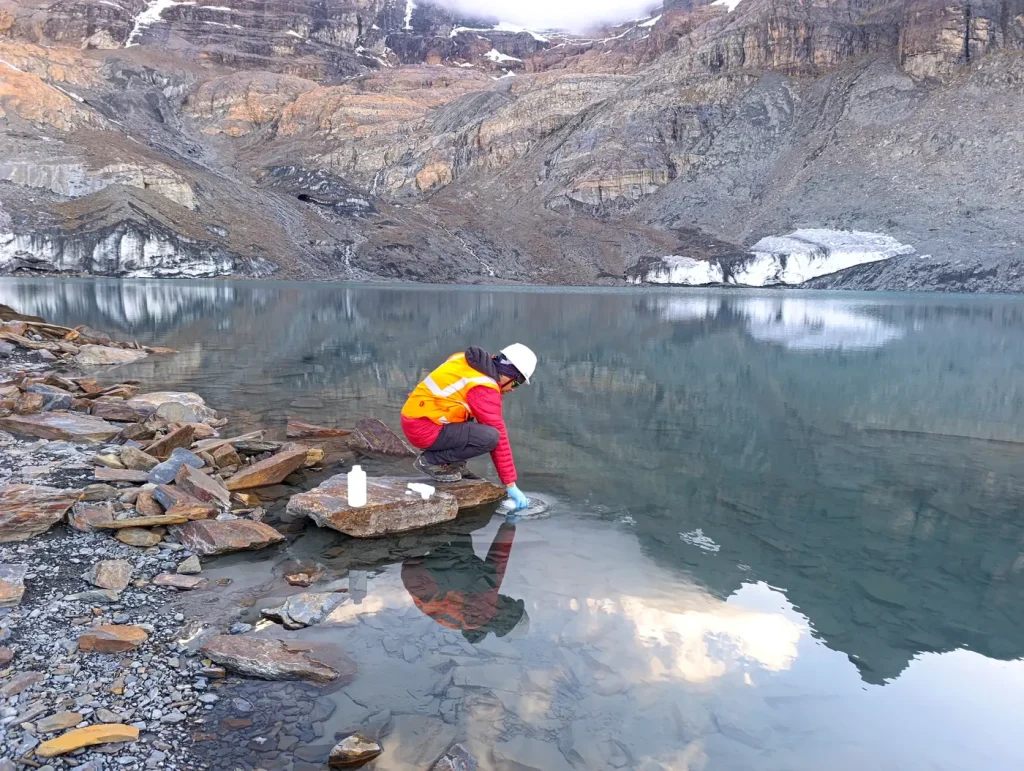
High-mountain crews installed control points, surveyed the topography with a total station and GNSS, and took water samples under traceability protocols.
Results
- Glaciological data series comparable between campaigns
- Georeferenced topographic control points
- Traceable water samples sent to the laboratory
More projects
 Biodiversity
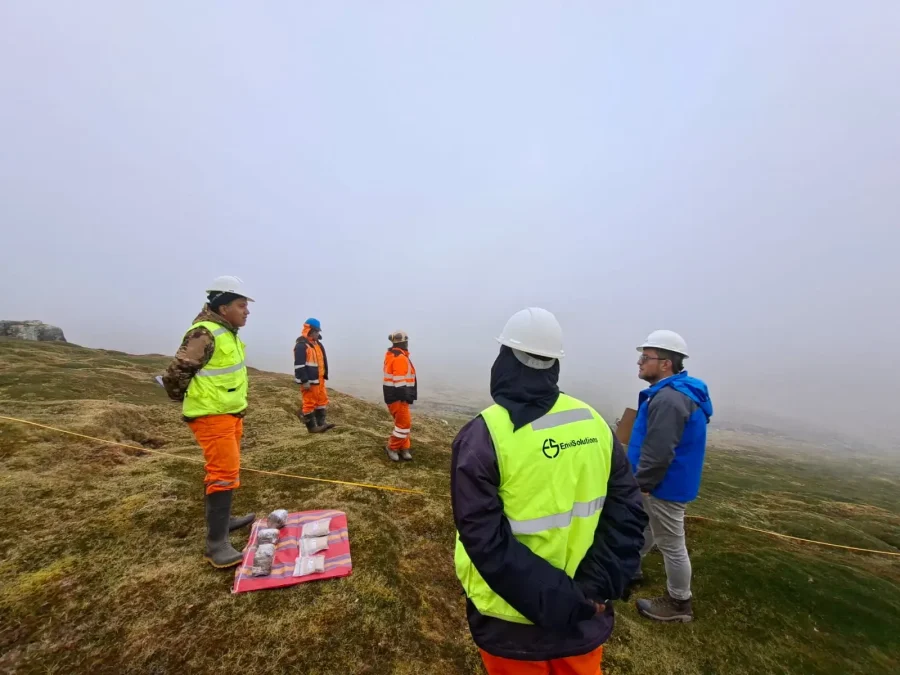
Baseline study of high-Andean flora and vegetation
Characterization of flora and vegetation cover with plots, transects and specimen collection.
 Geomatics
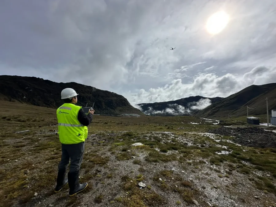
Drone survey and detailed mapping
Aerial photogrammetry and digital terrain models to plan and decide with precision.
Learn more about our work
Studies, engineering, water resources and legal advice across sectors and regions of the country.
View all projectsLet's talk about your project
Tell us what stage it is at and we will show you the shortest path to the permit or to compliance.