
Engineering and Geomatics
We turn the territory into actionable data: mapping, GIS, surveying and engineering solutions to decide with precision.
Geographic Information Systems
Geospatial databases, spatial analysis and thematic mapping for studies, permits and asset management.
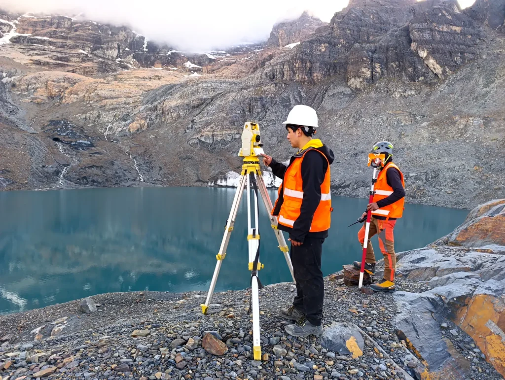
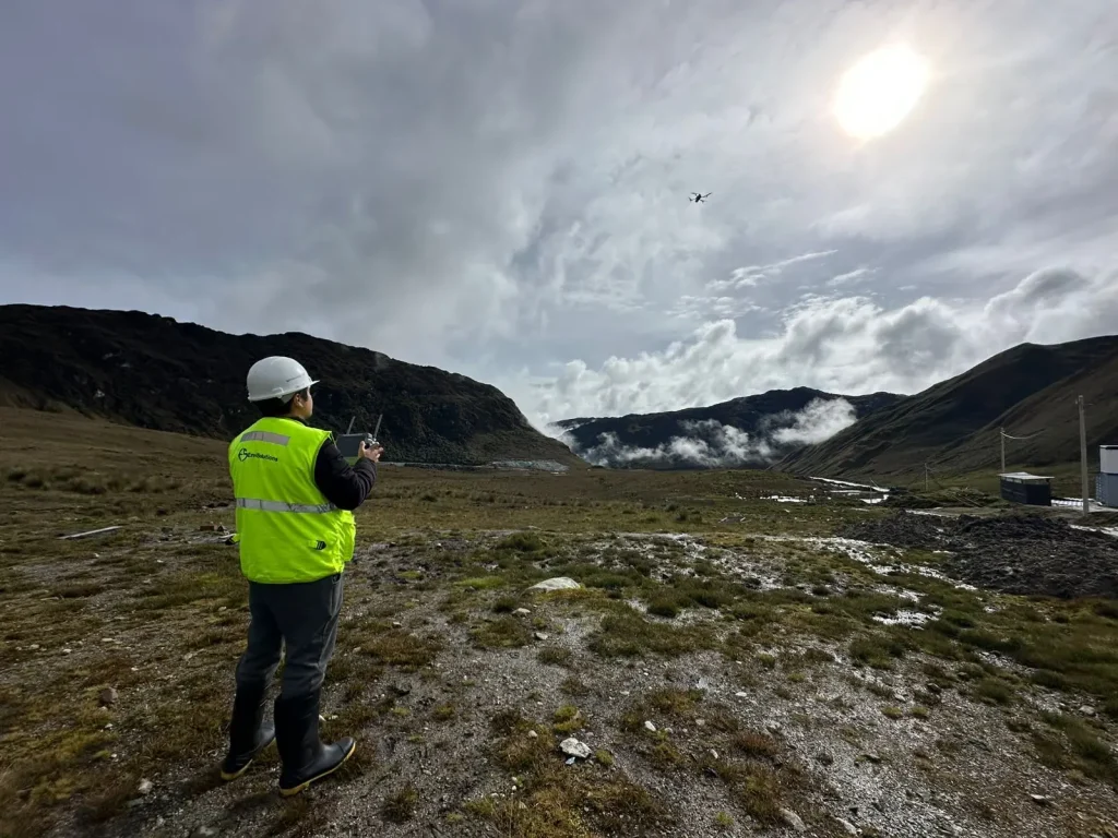
Surveying and photogrammetry
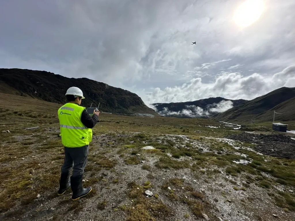
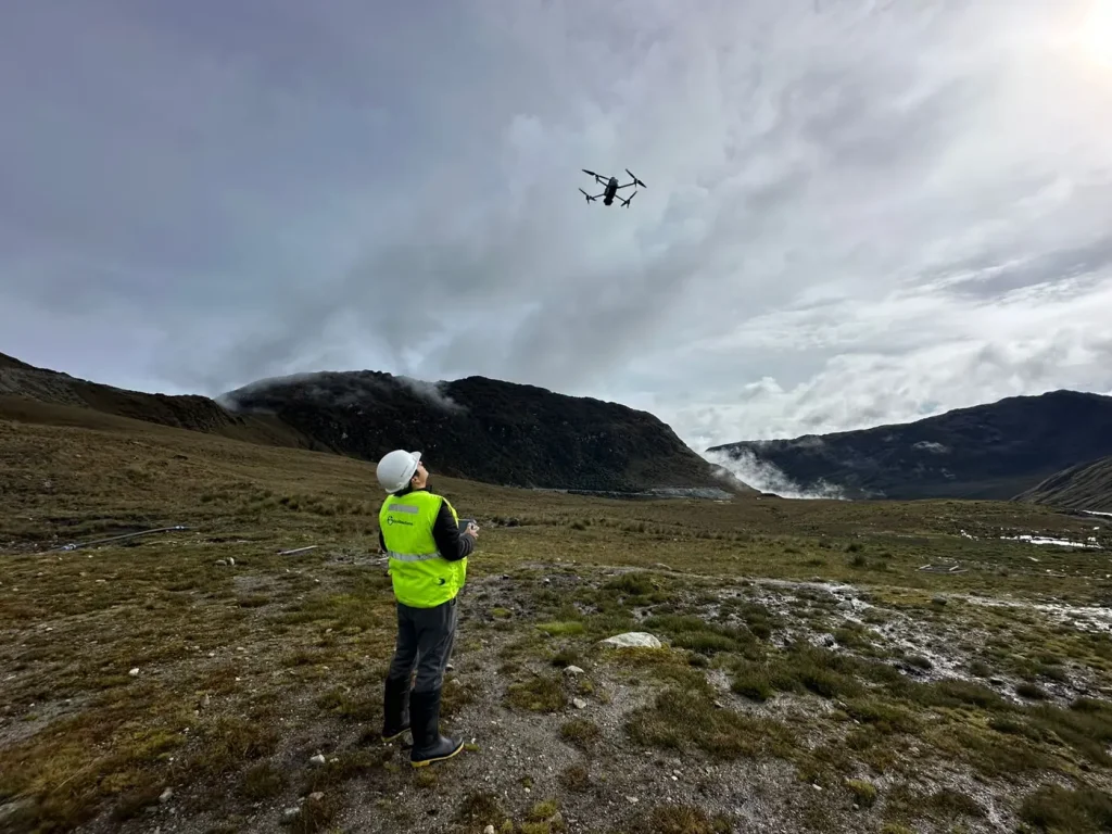
Topographic surveys and digital terrain models with GNSS equipment and drone flights.
Remote sensing
Satellite image analysis for vegetation cover, land-use change and temporal monitoring of the area of influence.
Hydrological and hydraulic modeling
Runoff studies, water balance and channel management for the safe design of works.
Treatment engineering
Design of wastewater treatment systems, solid waste management and environmental control works.
Gallery
Other services
Environmental studies and services
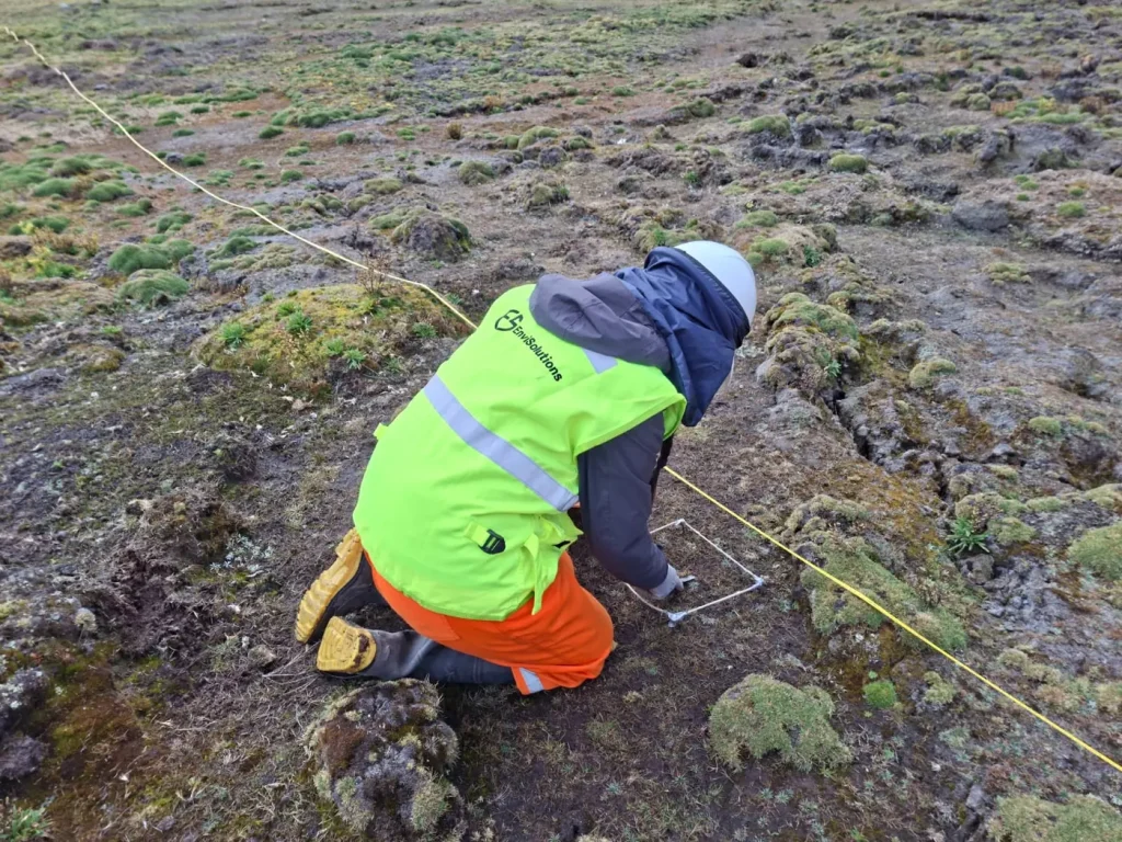
Impact assessment, baseline, monitoring and management plans for projects of any scale.
Water resources
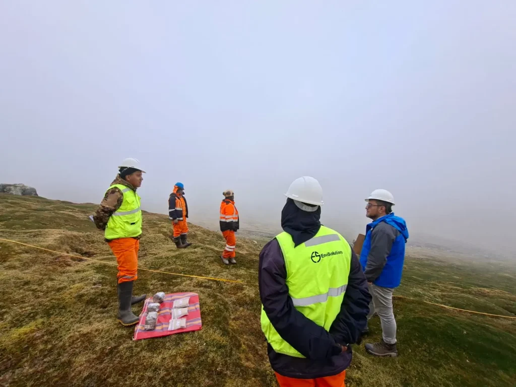
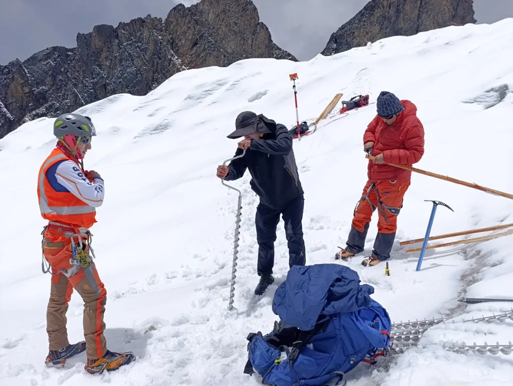
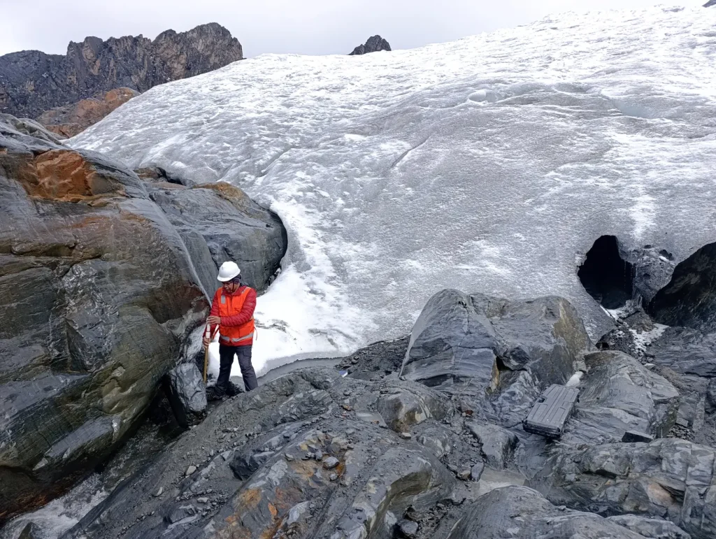
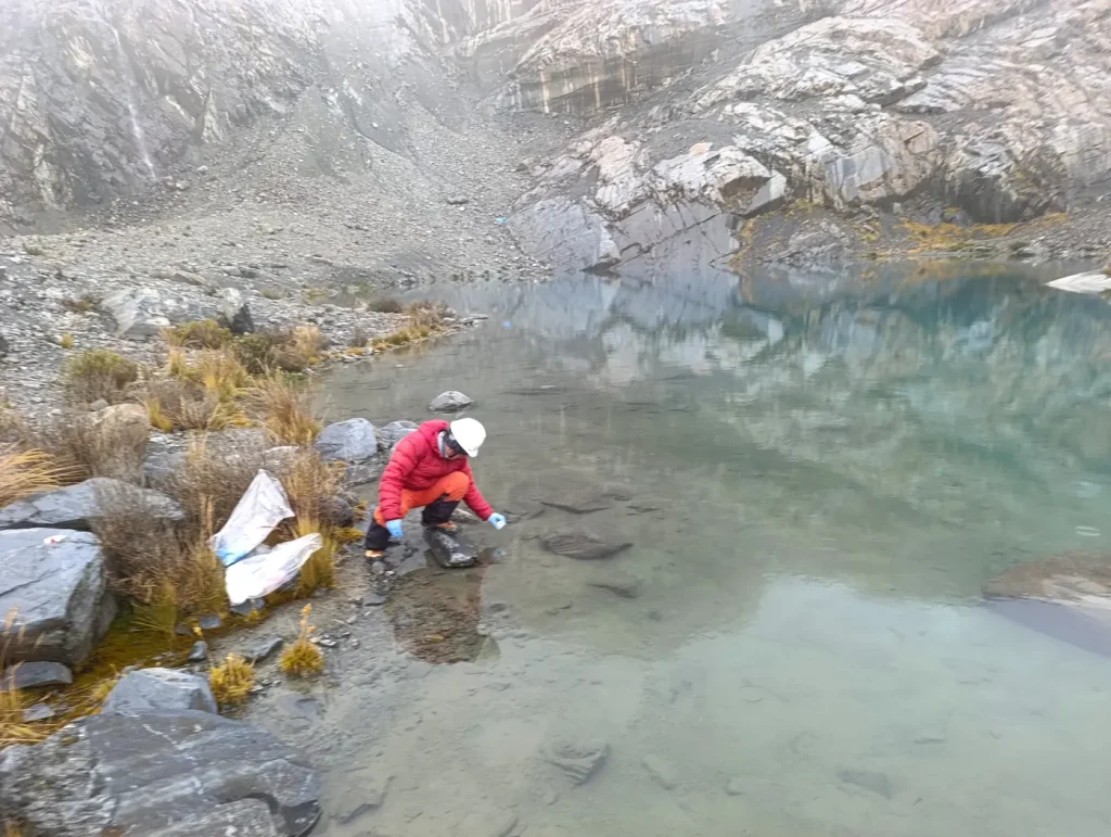
Water quality, hydrology, glaciers and watershed management with specialized fieldwork.
Legal advice and permits
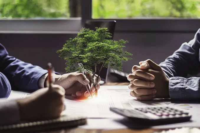
Environmental certification, licenses, permits and legal compliance with legal backing.
Let's talk about your project
Tell us what stage it is at and we will show you the shortest path to the permit or to compliance.