
Drone survey and detailed mapping
Aerial photogrammetry and digital terrain models to plan and decide with precision.
Context
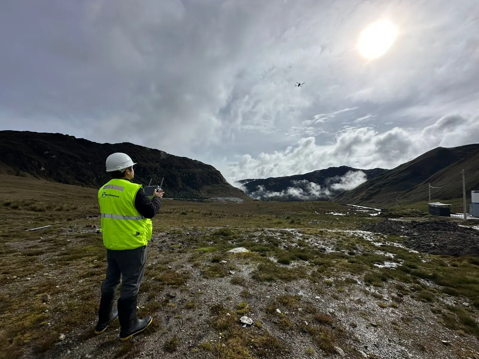
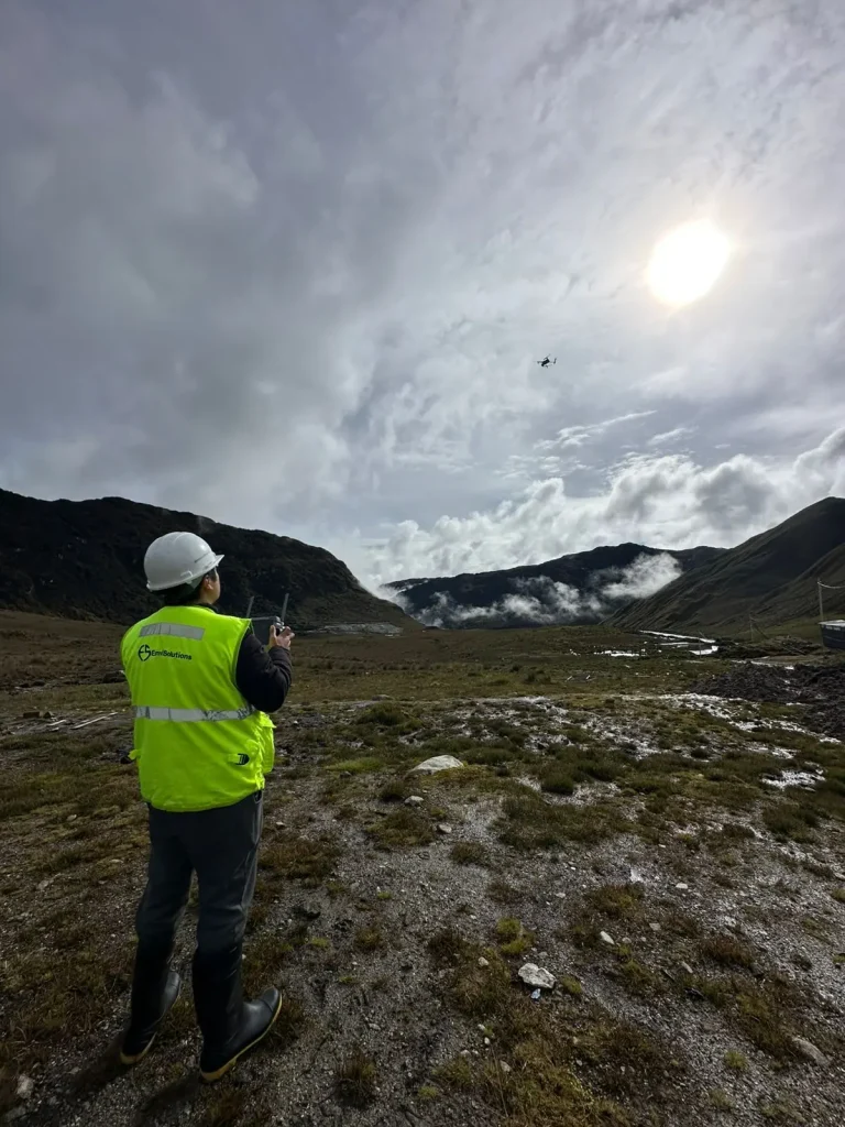
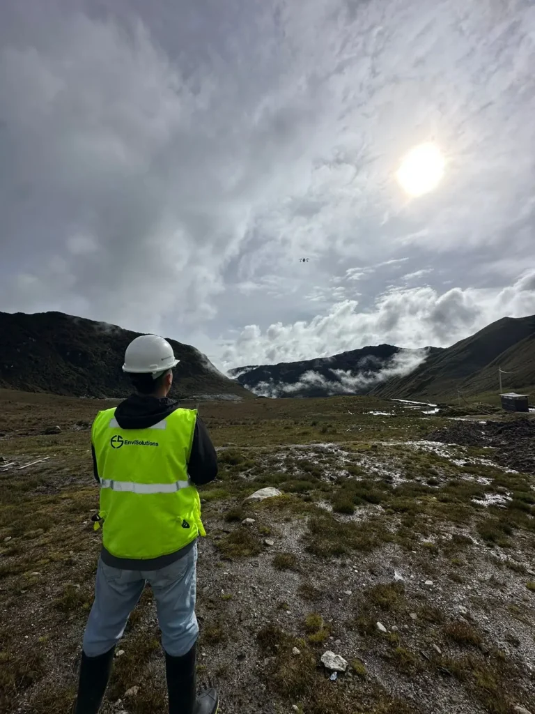
The project needed up-to-date mapping of a high-Andean valley to plan works and detailed studies.
Challenge
High-altitude conditions and variable weather that limit flight windows, and the need for resolution sufficient for analysis.
Our solution
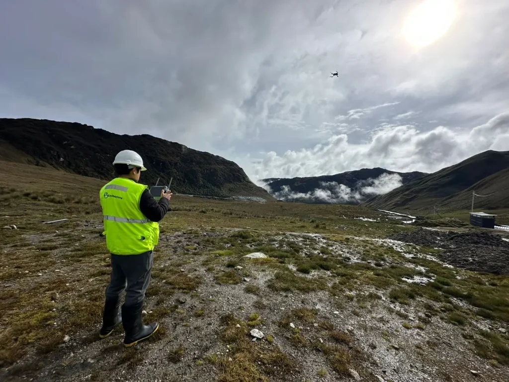
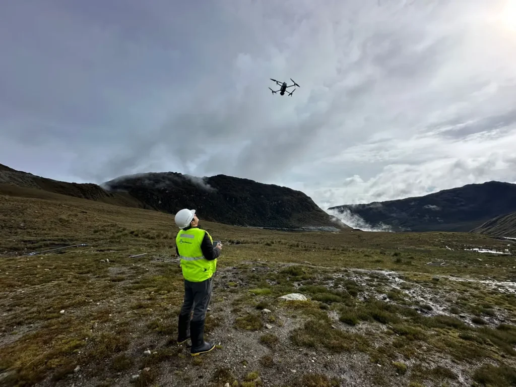
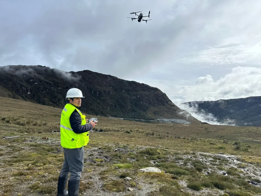
We planned the flight missions, supported the survey with control points and processed the images to obtain orthomosaics and digital terrain models.
Results
- High-resolution orthomosaic and digital terrain model
- Thematic mapping ready for engineering and GIS
- Reduced field time in hard-to-reach areas
More projects
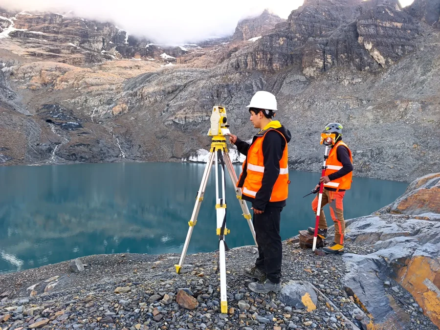 Water resources
High-mountain glacier and water resources monitoring
Glaciological measurement, precision surveying and water sampling in high-Andean lagoons.
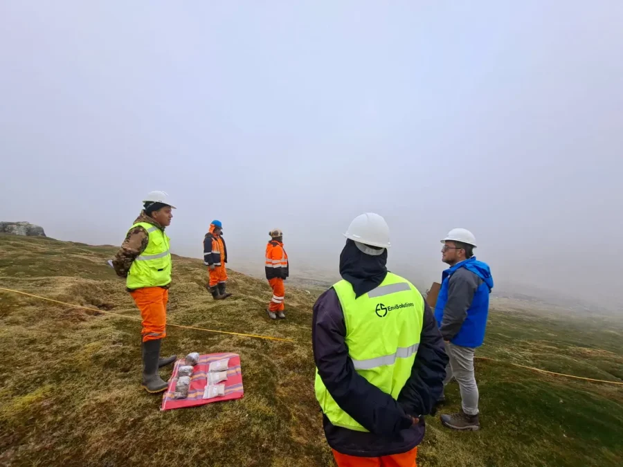 Biodiversity
Baseline study of high-Andean flora and vegetation
Characterization of flora and vegetation cover with plots, transects and specimen collection.
Learn more about our work
Studies, engineering, water resources and legal advice across sectors and regions of the country.
View all projectsLet's talk about your project
Tell us what stage it is at and we will show you the shortest path to the permit or to compliance.